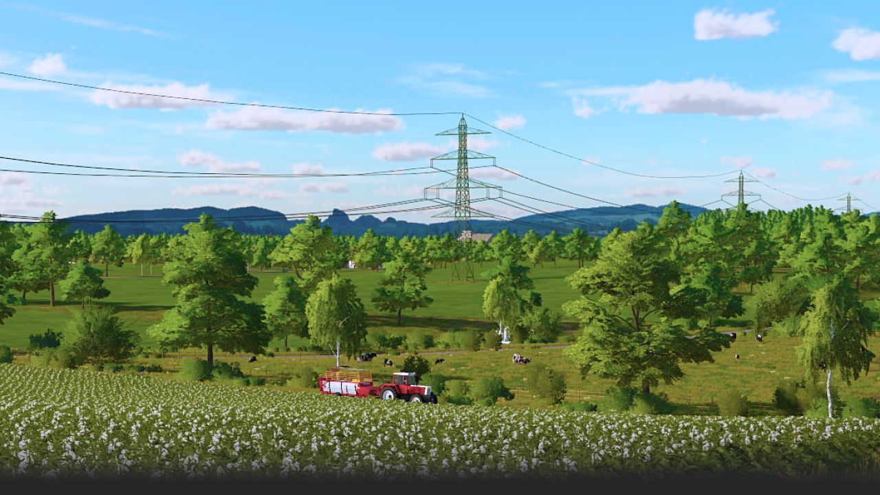
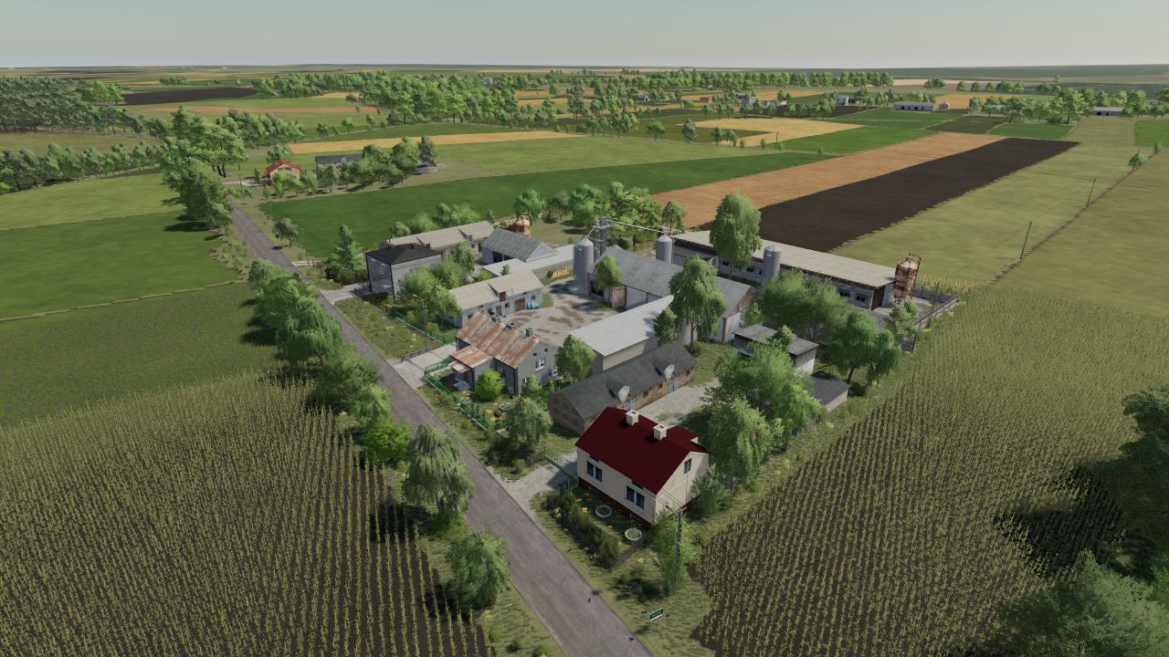
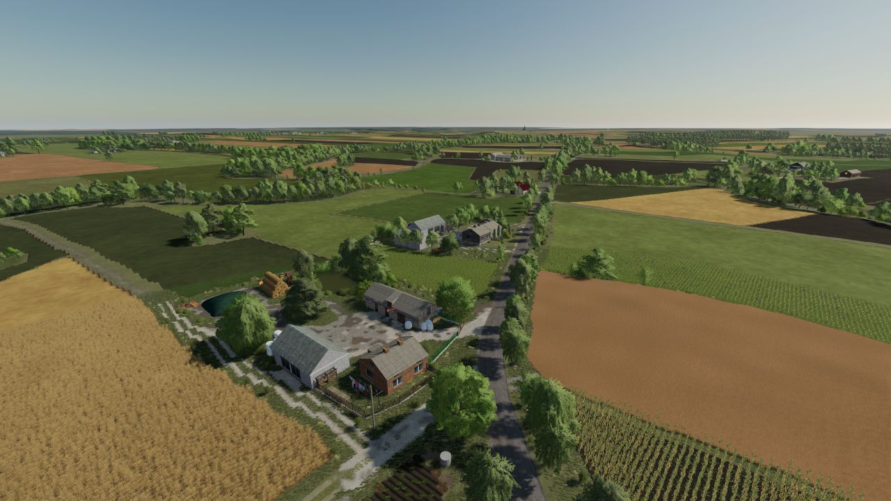
The map was created based on the area near the Gostynińskie Lake District - a region stretching between Gąbin,
Gostynin and Włocławek, on the left (south) bank of the Vistula.
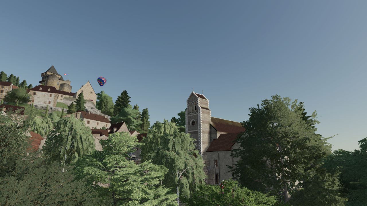
In the area there is a landscape park rich in beautiful lakes and forests.
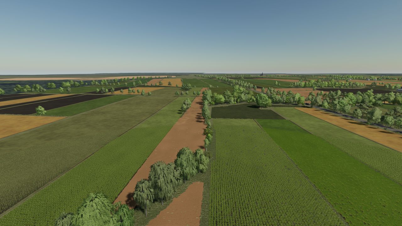
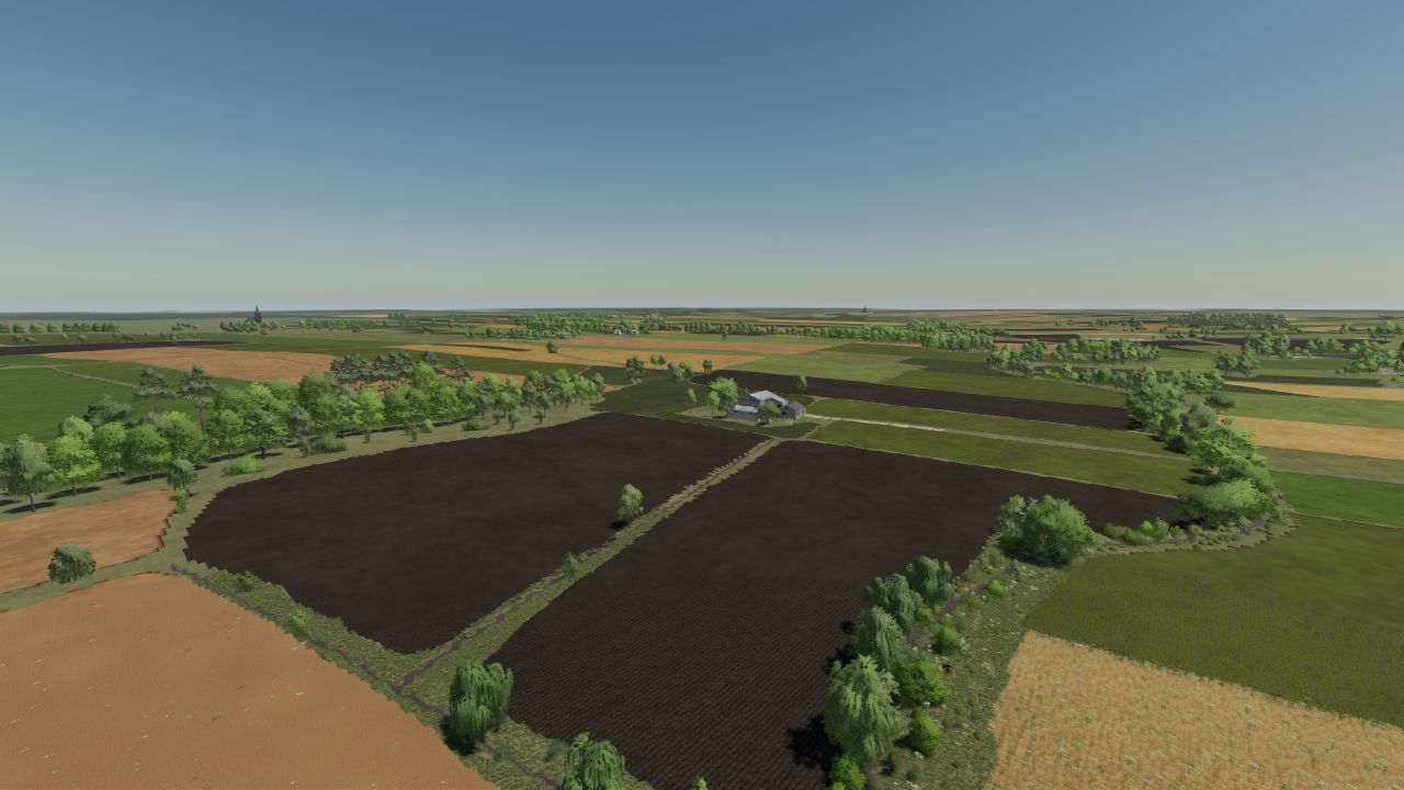
However, the areas of the commune near the commune of Gostynin are intensively exploited for agriculture.
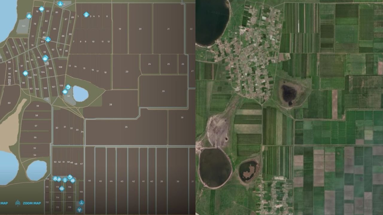
The map was created based on x4 with real terrain and a grid from Google Maps.
He has:
– 3 municipalities
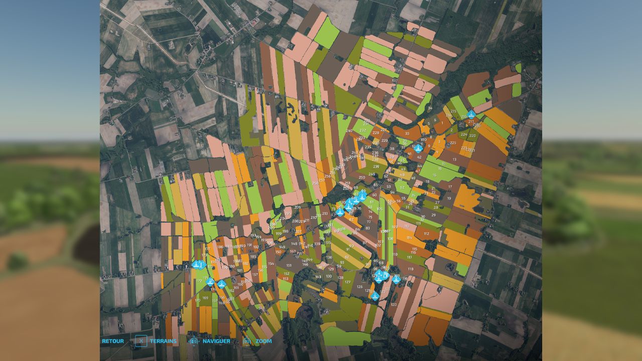
– 250 agricultural land
– 258 fields, including several dozen meadows
– several small forests
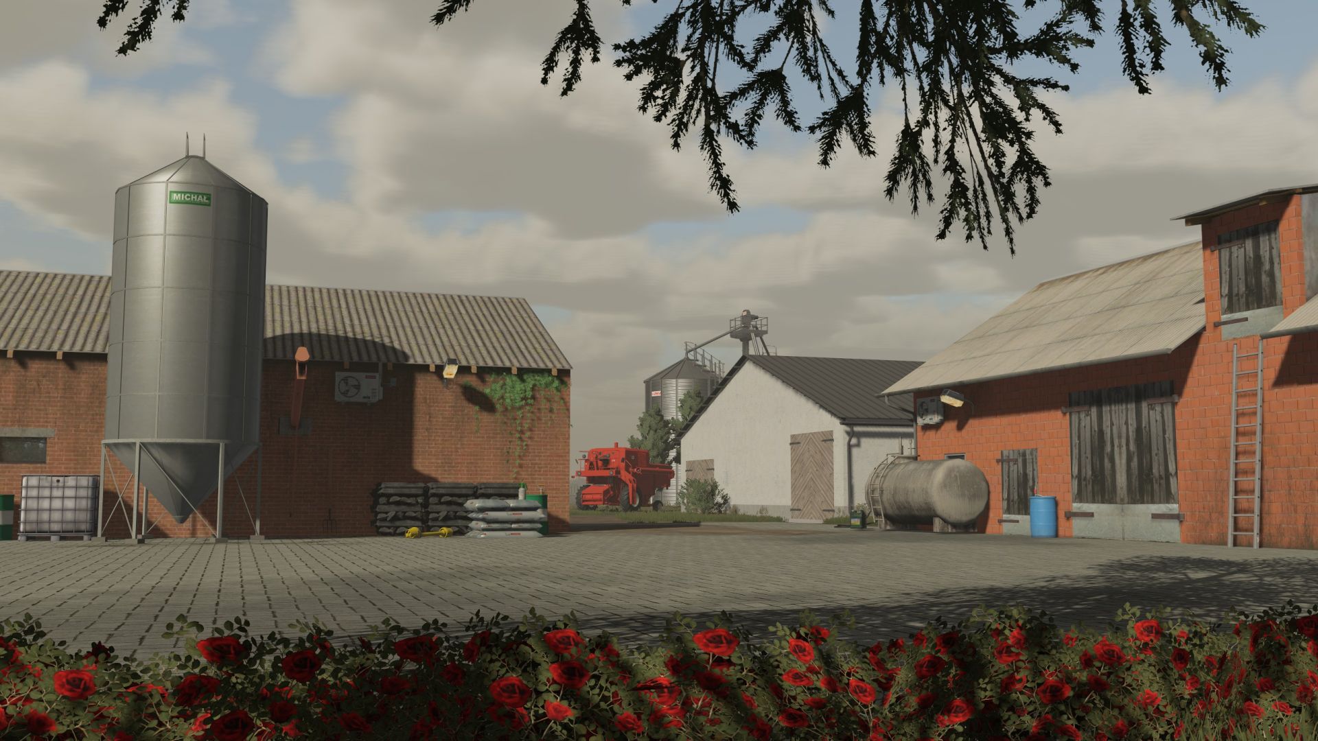
– 4 farms
– 13 purchases
– changed the boxes of the trees
– new terrain paint board
- cultivation textures with additional stubble compaction
– multi-terrain
- Traffic
– Polish sowing dates
- 3 types of Polish registrations (black, with flag and present)
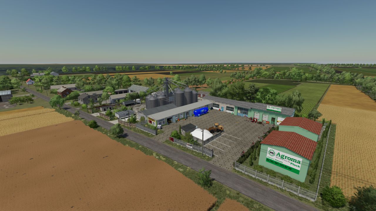
– Agrome, CPN and sawmill
– Point of sale for Lime and UAN
– clean diary