
Description of the program PixelFarm Satellite Fields Converter (FS25)
PixelFarm Satellite Fields Converter is a tool for automatically converting satellite imagery into ready-made field markings for Farming Simulator 25 from GIANTS Software.
The program allows you to create, based on a real image of the area:
contours of agricultural fields
farmland masks
infoLayer for AI
texture layers for painting (terrainDetail)
preparing maps for import into GIANTS Editor
🔹 Main features
Satellite image analysis
Automatic detection of field boundaries by color, structure and contrast.
Generating Free Form Fields
Support of natural forms, as in real village areas.
Making masks for FS25
farmland.png
fieldInfoLayer.png
densityMap if necessary
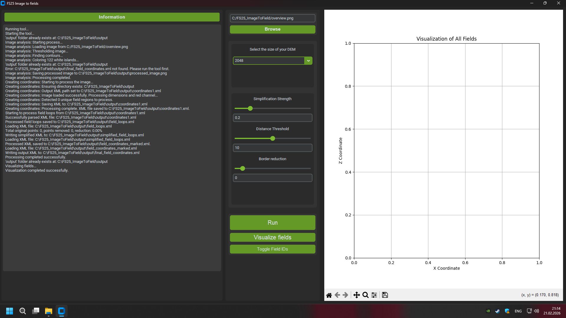
Card size support
2x2 km
4x4 km
DEM scaling
Export to GIANTS Editor 10+ compatible format
Setting map boundaries
Formation of correct map edges without “dips” beyond the boundaries of the world.
🔹Who is the program intended for?
Map modders for Farming Simulator 25
Creators of realistic maps based on real terrain
Developers of projects in the style of satellite markings
🔹 Benefits
Save tens of hours of manual marking
Increased accuracy of real-world terrain replication
Natural field grid support
Compatible with multifruit cards
🔹 License
The program is distributed under the MIT License
© 2024 PixelFarm
Free use, modification and redistribution of the software is permitted provided the original copyright notice is retained.
farmtechgame