
This Work-In-Progress has been archived. This may be due to a long period of inactivity or due to the author's decision. We cannot know if it will be updated again later or not.
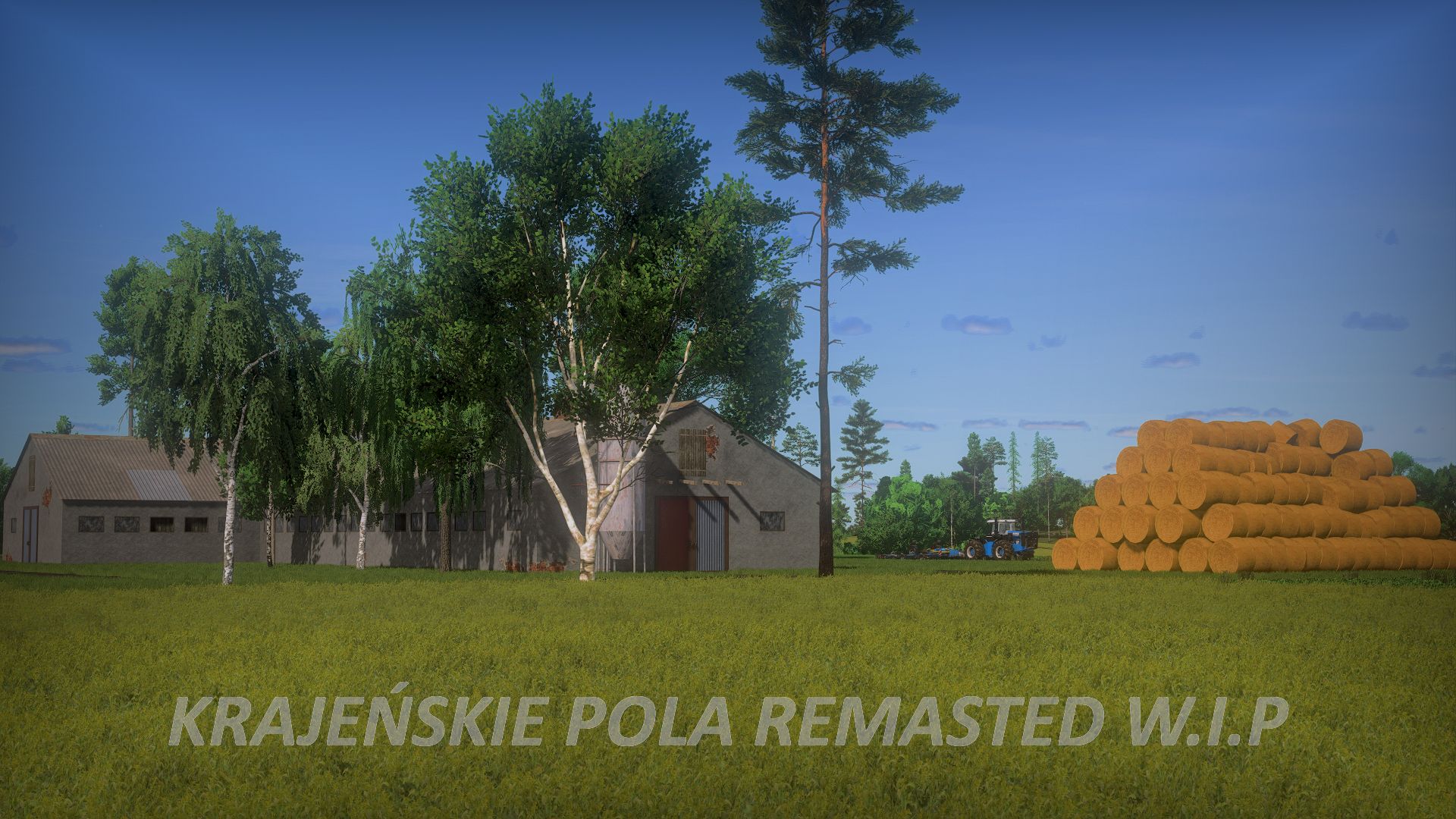
Krajeńskie Pola Remasted 0.5.0.0 - W.I.P
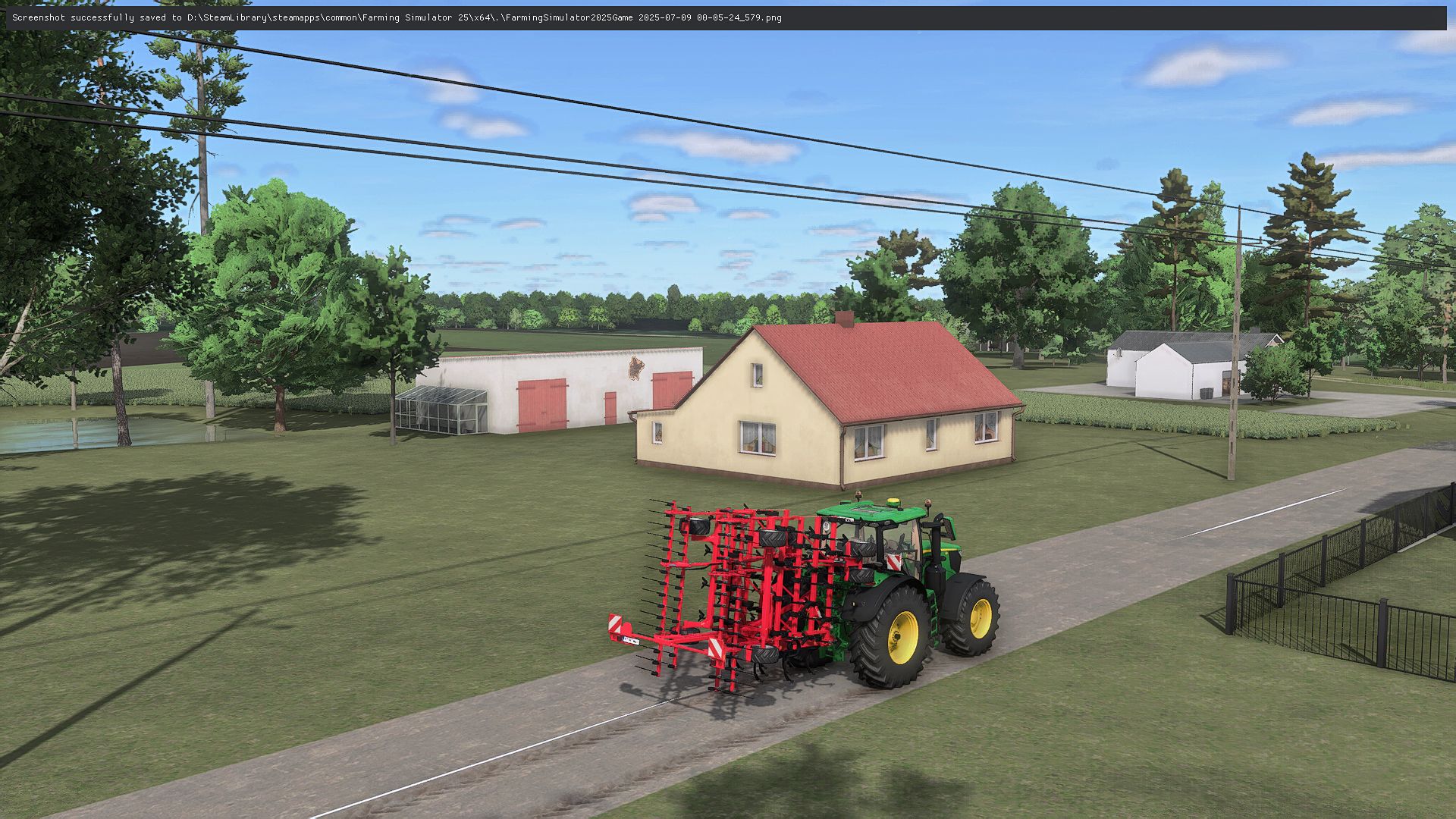
- the main road UV has been improved
- forests were completed
- the appearance of new trees on filling was completed
- the appearance of the map filling was completed
- the appearance of license plates for the player and AI was completed
- many new textures have been added
- new paintings for the area have been added
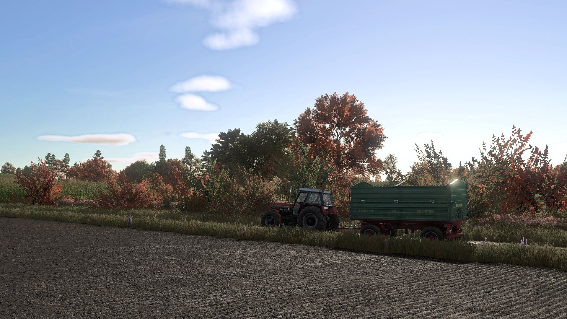
- stubble kneading has been added
- Additional crops have been added
- Translations have been added to all languages supported by FS 25
- Custom lighting has been added
- fish in the ponds have been added
- a custom -like foundation appearance has been added
- minor improvements were made in the road system in the forest
- the appearance of the crop has been adapted
- Refreshment and positions of road signs on the map were completed
- custom markers have been added
In fact, only modeling + decorations and visual things remained on the map.
As for the premiere ... I know that you are waiting for the map, but this time we set ourselves as a band 30% wirektteam the bar very high and we want to get the map to perfection and put 100% skills in it to create the final version of KP.
At the moment I am not able to tell you when it will happen, but certainly before the premiere of GTA 6 haha.
If you want to offer us what you would like to see on the map, then boldly write, we will consider every thing.
- the appearance of the roads was fully completed
- fields were completed
- (static) fields are completed on filling out the map (they cannot be bought and grown, they will be purely visual
- the appearance and positions of current columns were completed
- more tree models have been added
- more uneven terrain has been added
- a flying aircraft has been added to the map
- a drone of flying on the map has been added
- storks flying throughout the map have been added
- floating fish in the ponds have been added
- a map from a defective sample map was moved to a new one
- AI SPLINE system has been rebuilt (from now on, the traffic will be more varied and employees were less losing the track)
 European Maps