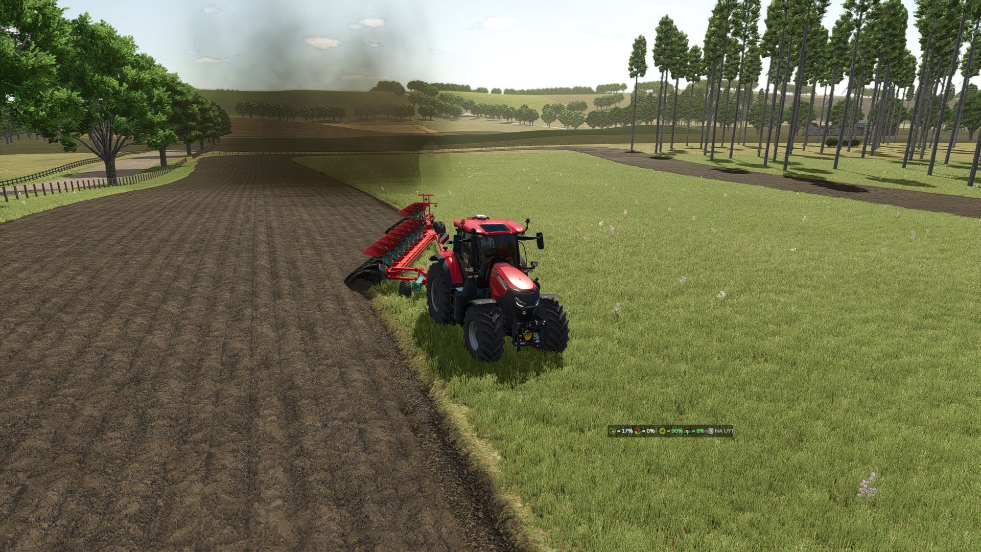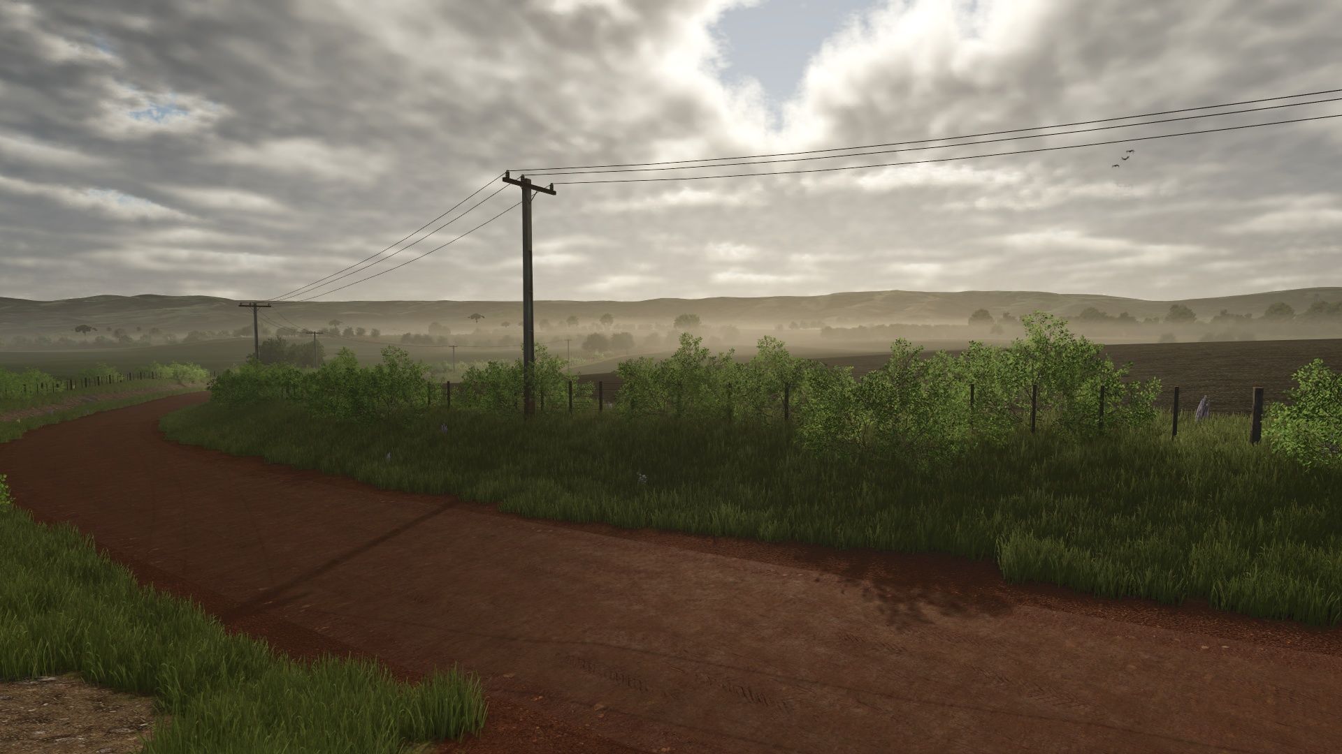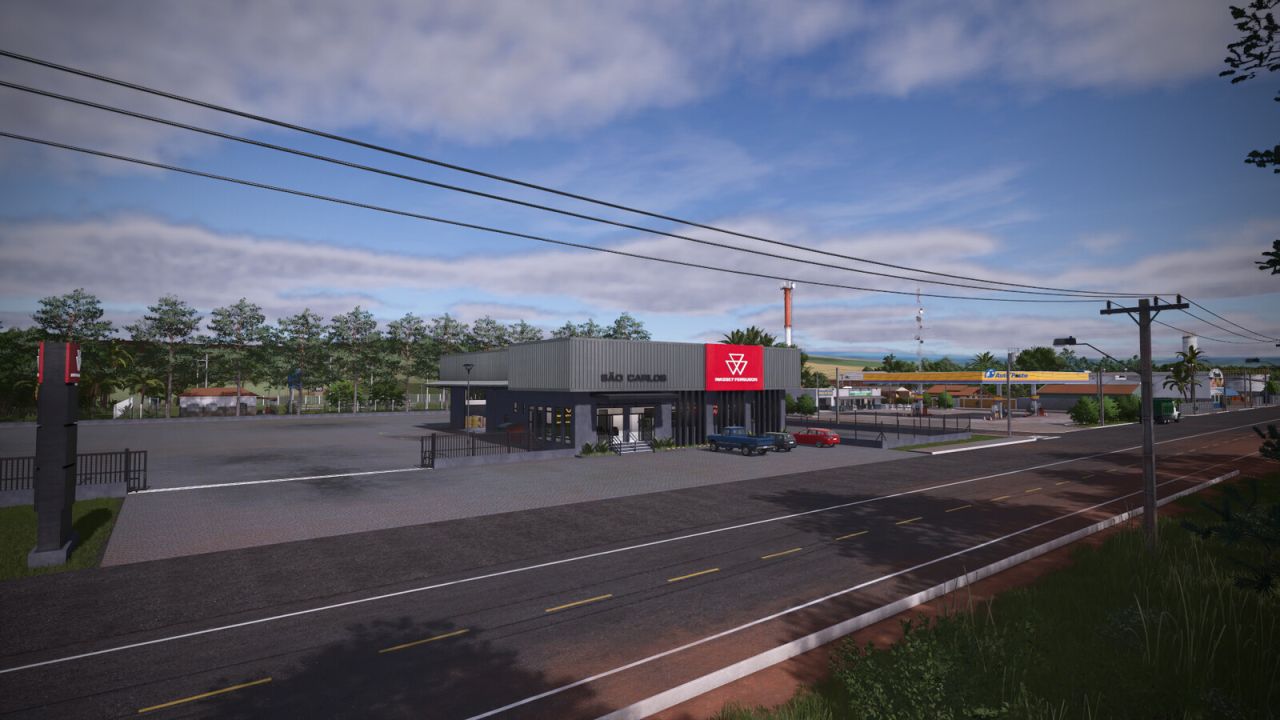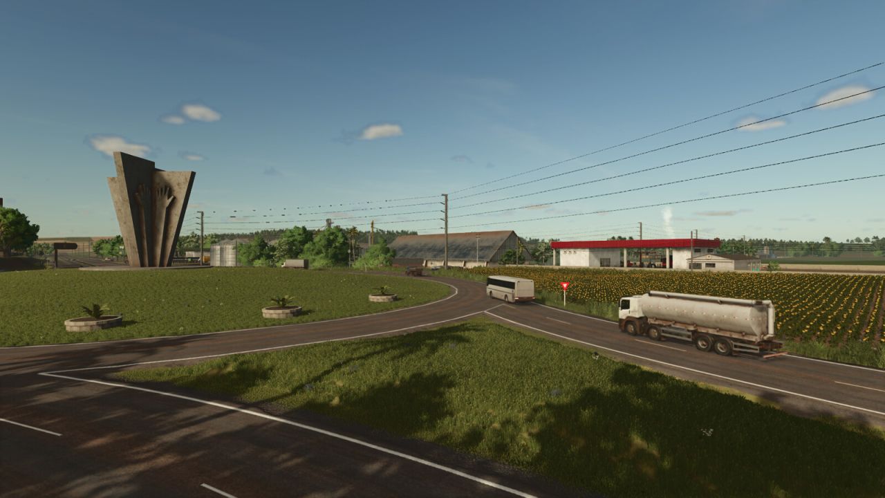
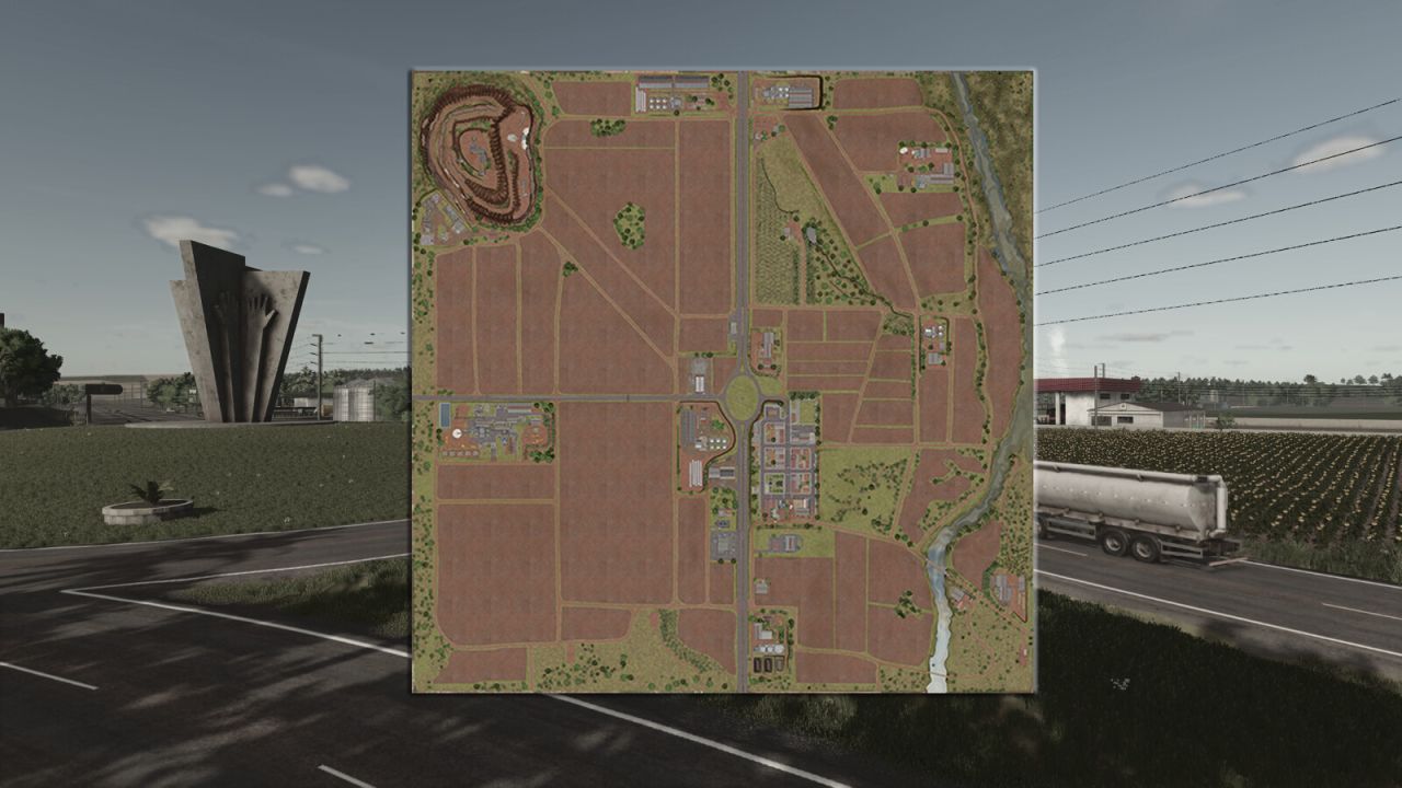
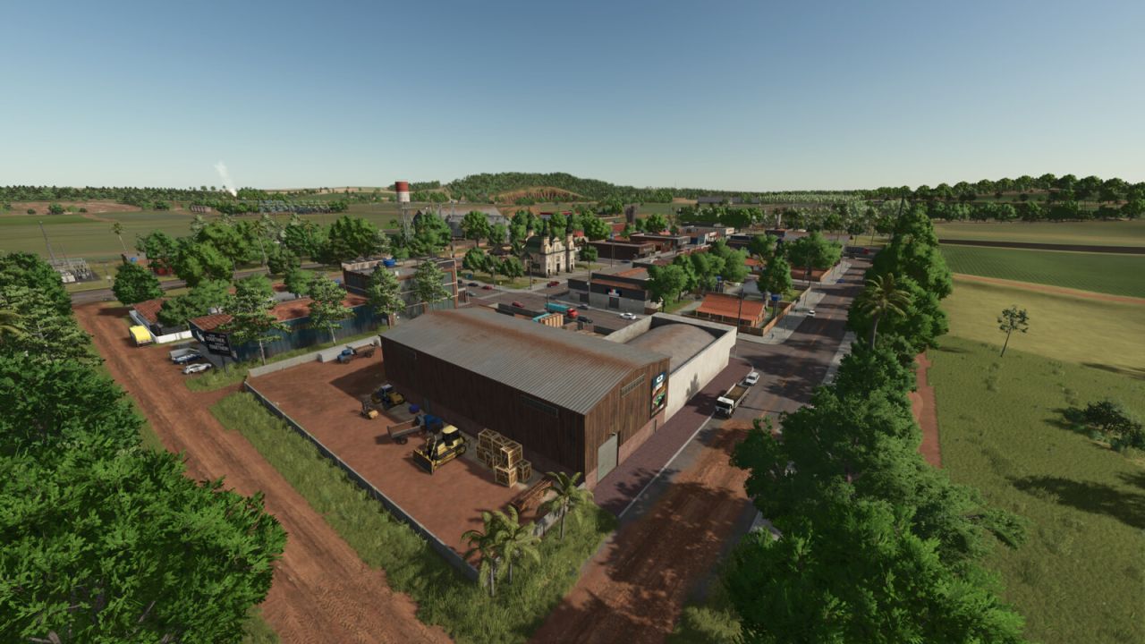
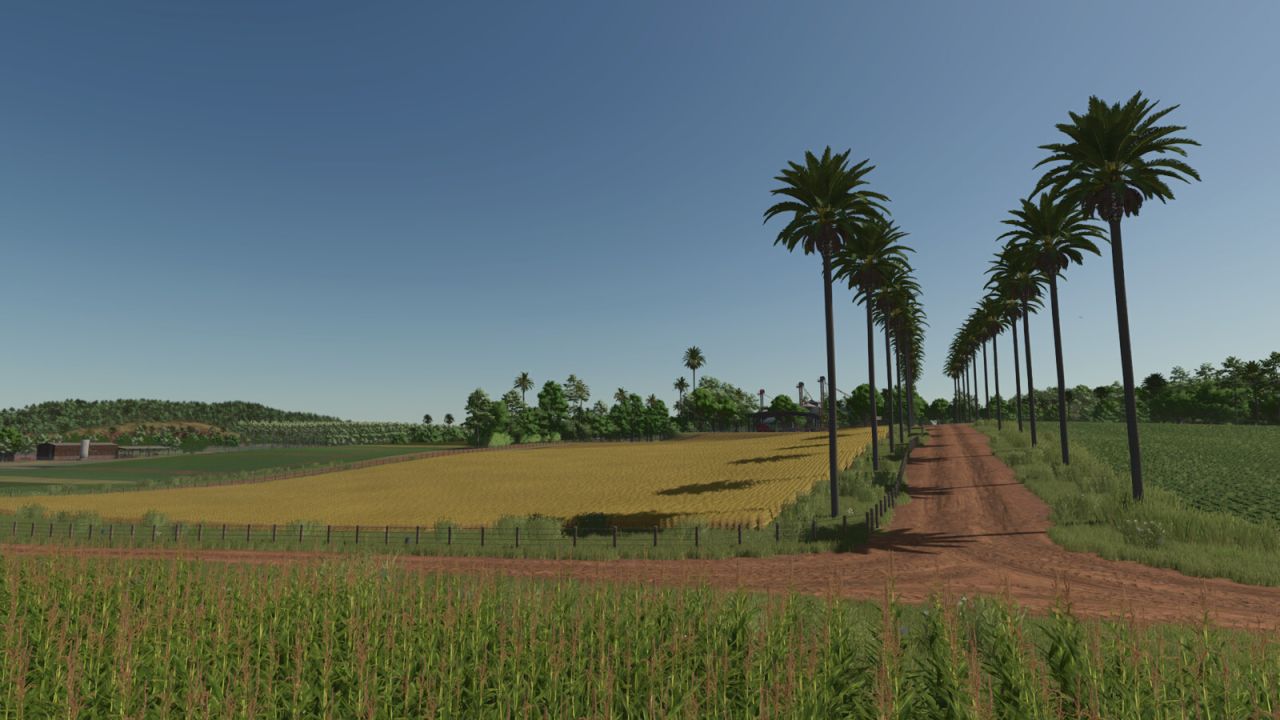
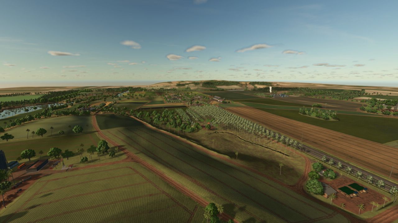
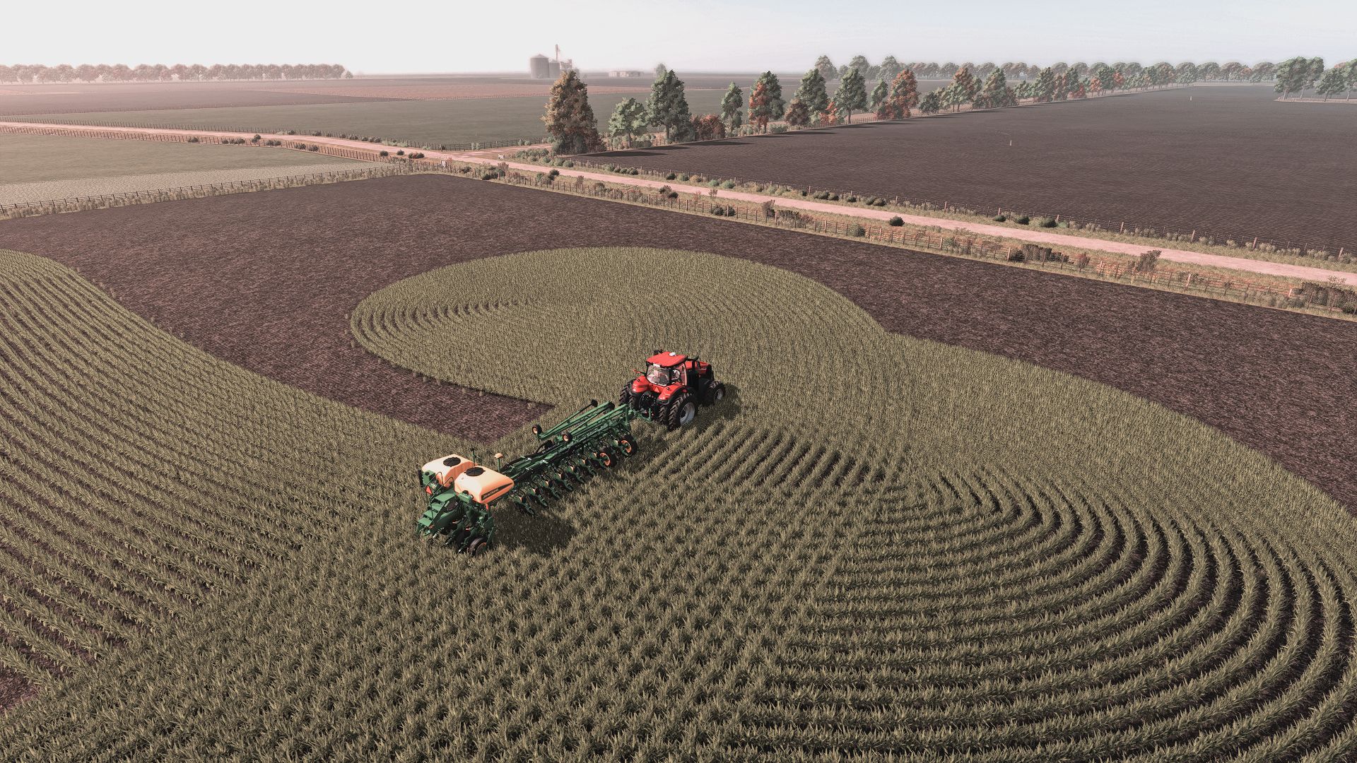
Map based on a stretch of the BR-163 highway, in the region of the city of Dourados in the state of Mato Grosso do Sul, Brazil, adding several characteristics of the region. A region that produces mainly corn and soybeans. The map has:
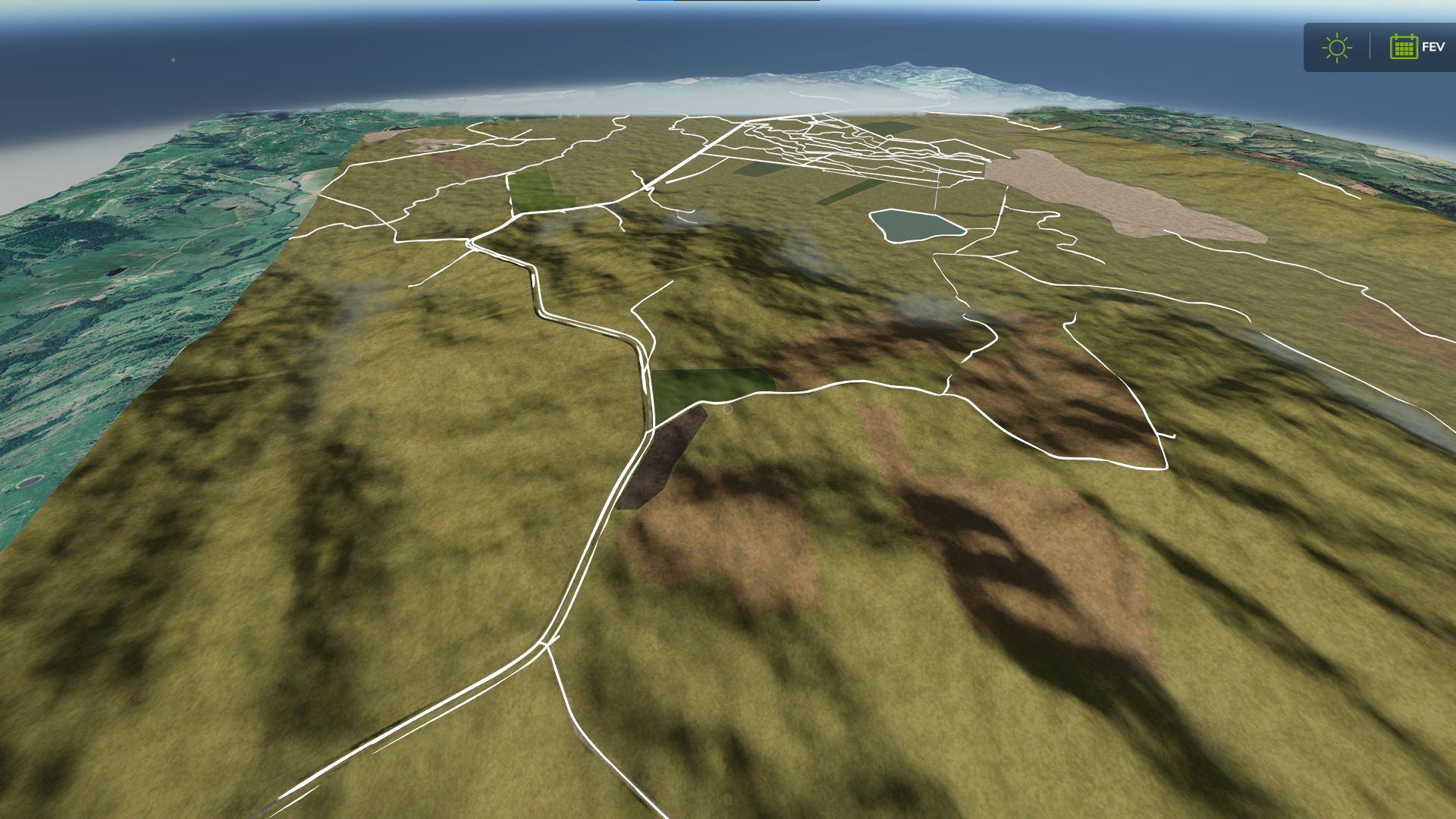
-75 buyable lands.
-47 fields (0.34ha to 24.90ha).
-2 grain selling points.
-Multiple production points.
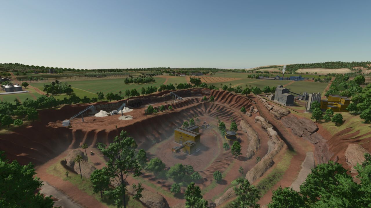
-A quarry.
-Sawmill.
-Animal Dealer.
-Vehicle shop.
-BGA.
-new productions
NOTE:
-All structures such as houses and sheds that are in purchasable areas can be removed.
-In multiplayer, farm #1 can remove fences and gates across the map.
-The planting and harvesting calendar has been changed.
-Fixed some misplaced objects.
-Fixed the duplicate silo on the main farm.
-Reduced bridge construction time by 30%.
-Reduced the deformation of the main dirt texture when dry.
-Change the size of the decorative grass to avoid issues with animal pens.
-It is now possible to sell containers at the sawmill.

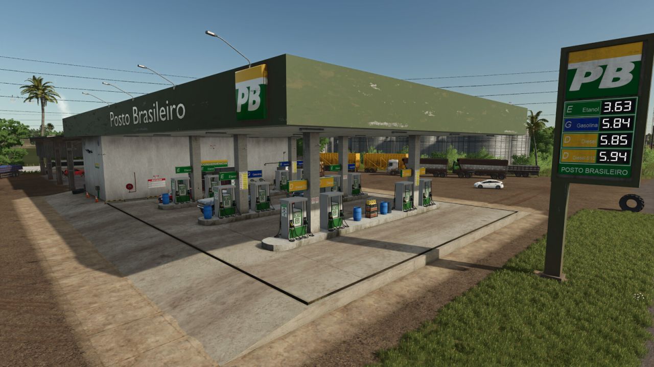 Gas Station BR
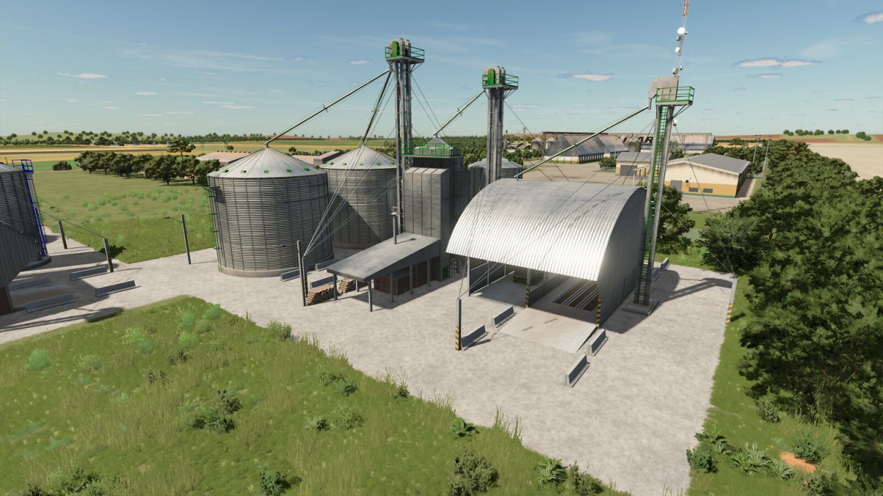 Package Mega Silo